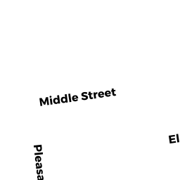
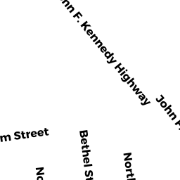
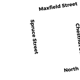
57 FOSTER ST
Owner Information
SANTOS CARLOS J
57 FOSTER STREET
NEW BEDFORD, MA 02740


Property Details
57 FOSTER ST is classified as a Apartments with Four to Eight Units (4-5 family).
The primary structure on this property was built in 1890. There are 3,619ft2 of built area within this property. There is 3,619ft2 of residential/living space within this property. This property is listed as having 15 rooms. There are 4 units within this property.
57 FOSTER ST is valued at $253,100. The land is valued at $63,100 and the structures are valued at $182,100. There is an additional valuation of $7,900 on this property.
This property is in Zone RB. Confirm with local Zoning Board authorities to ensure there are no overlays or other easements on this property.
The most recent deed for 57 FOSTER ST is recorded at the local registrar in Book 9994, Page 247. 57 FOSTER ST was last sold on Thursday, February 17, 2011 for $0.
Assessment data from fiscal year 2021.
Flood Data
According to the FEMA National Flood Hazard Layer, this property does not appear to be in a flood zone. It may also be in an area not yet reviewed. Nonetheless, confirm this information prior to taking any action.
To view the flood hazards around this property, create a FEMA "Firmette" Map of the area around 57 FOSTER ST.
Broadband Internet Providers
| Provider | Type | Bandwidth (mbps) | |
|---|---|---|---|
| T-Mobile | Fixed Wireless | 25 | 3 |
| Viasat Inc | Satellite | 35 | 3 |
| Comcast | Cable | 1000 | 35 |
| VSAT Systems, LLC. | Satellite | 2 | 1 |
| HughesNet | Satellite | 25 | 3 |
| GCI Communication Corp. | Satellite | 0 | 0 |
| Verizon New England Inc. | DSL | 15 | 1 |
Broadband service provider data from December 2020.
Adjacent Properties
- 59 FOSTER ST
Two-Family Residential owned by DEBURGO CAROLINA A - 74 HILLMAN ST
Apartments with Four to Eight Units owned by ANDRADE TATIANA "TRS" - 56 HILL ST
Accessory Land with Improvement owned by COVE RYAN - 58 HILL ST
Two-Family Residential owned by BERGERON PAUL - 55 FOSTER ST
Two-Family Residential owned by CASTELO MANUEL